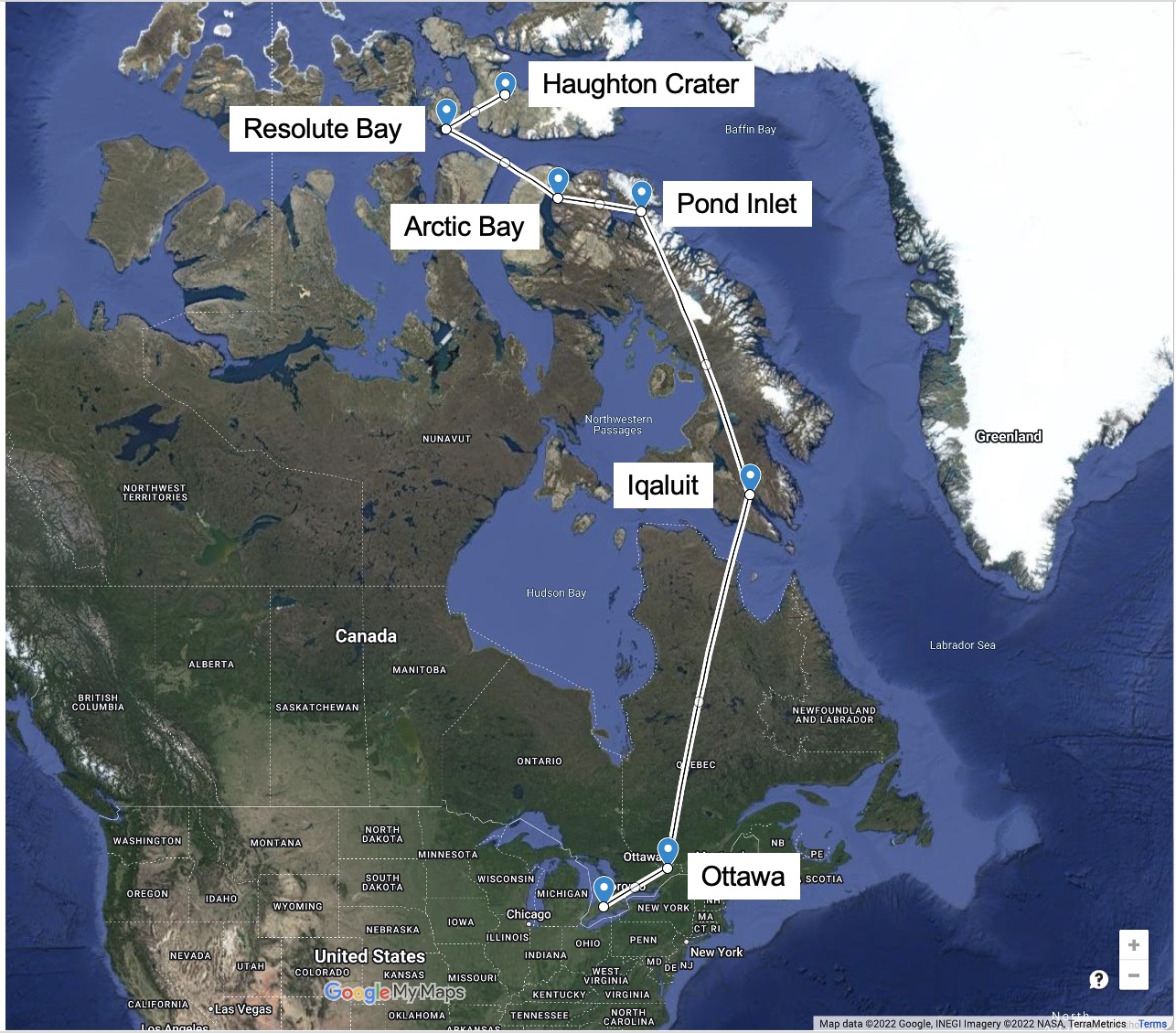

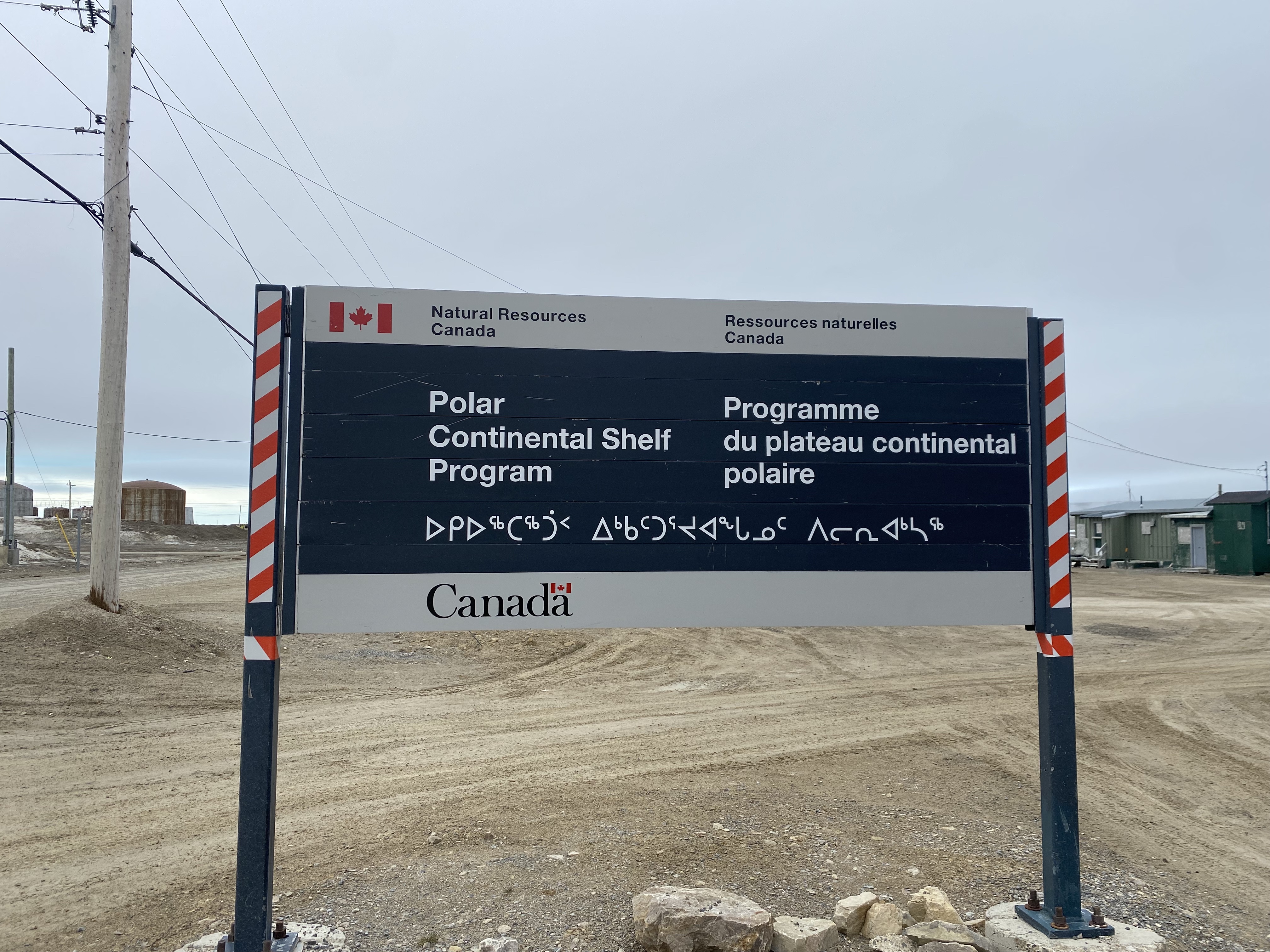
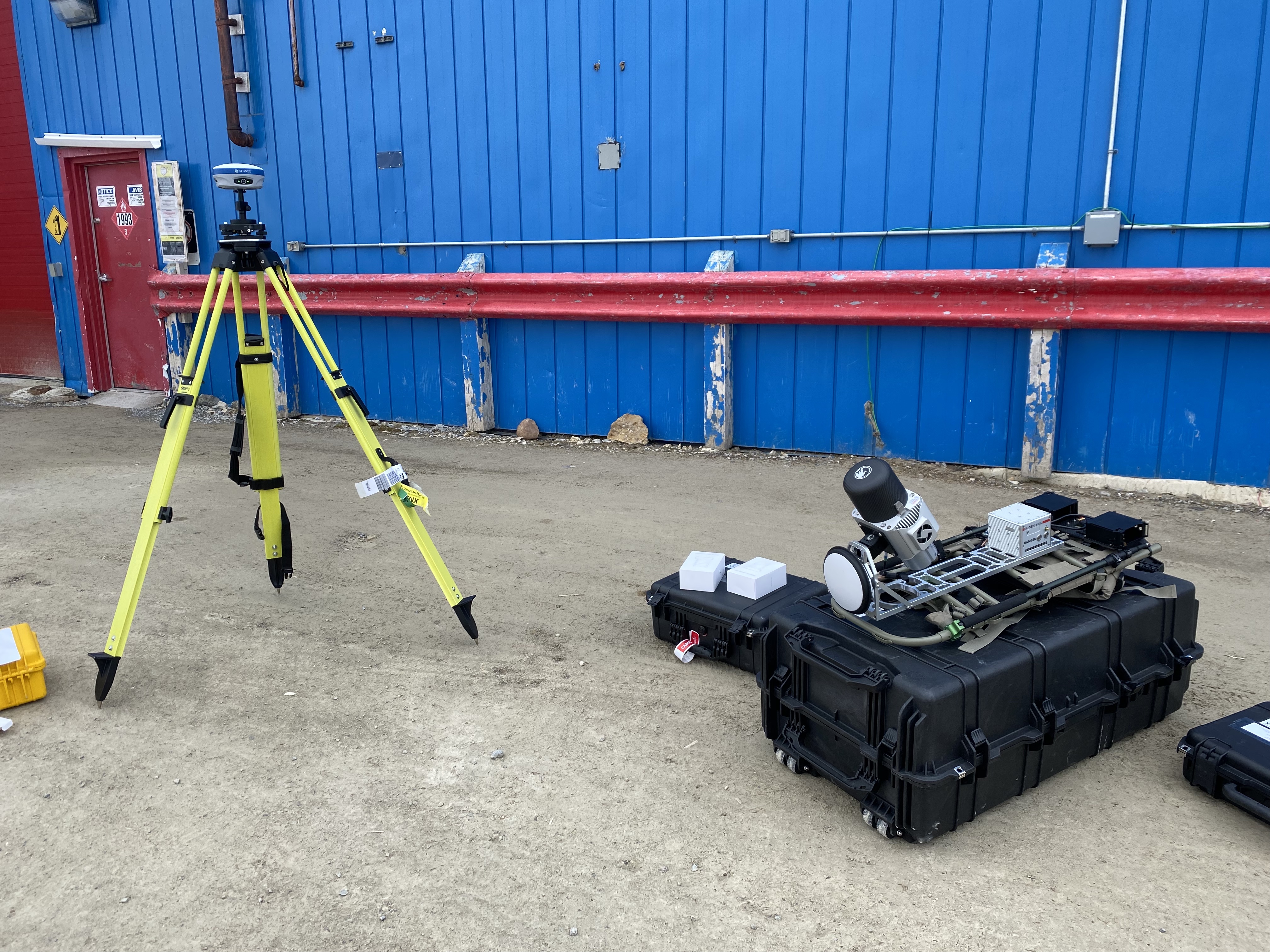
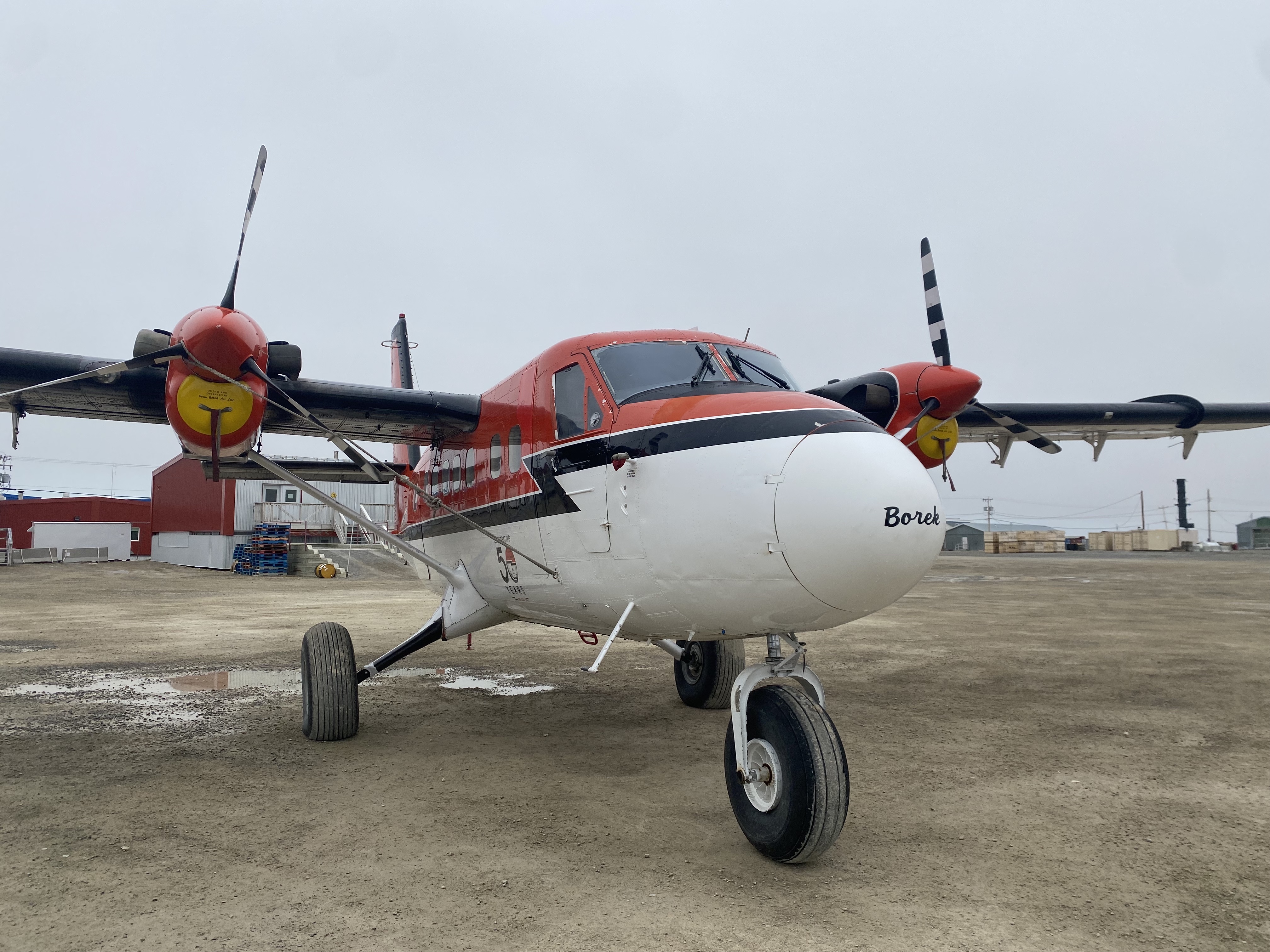
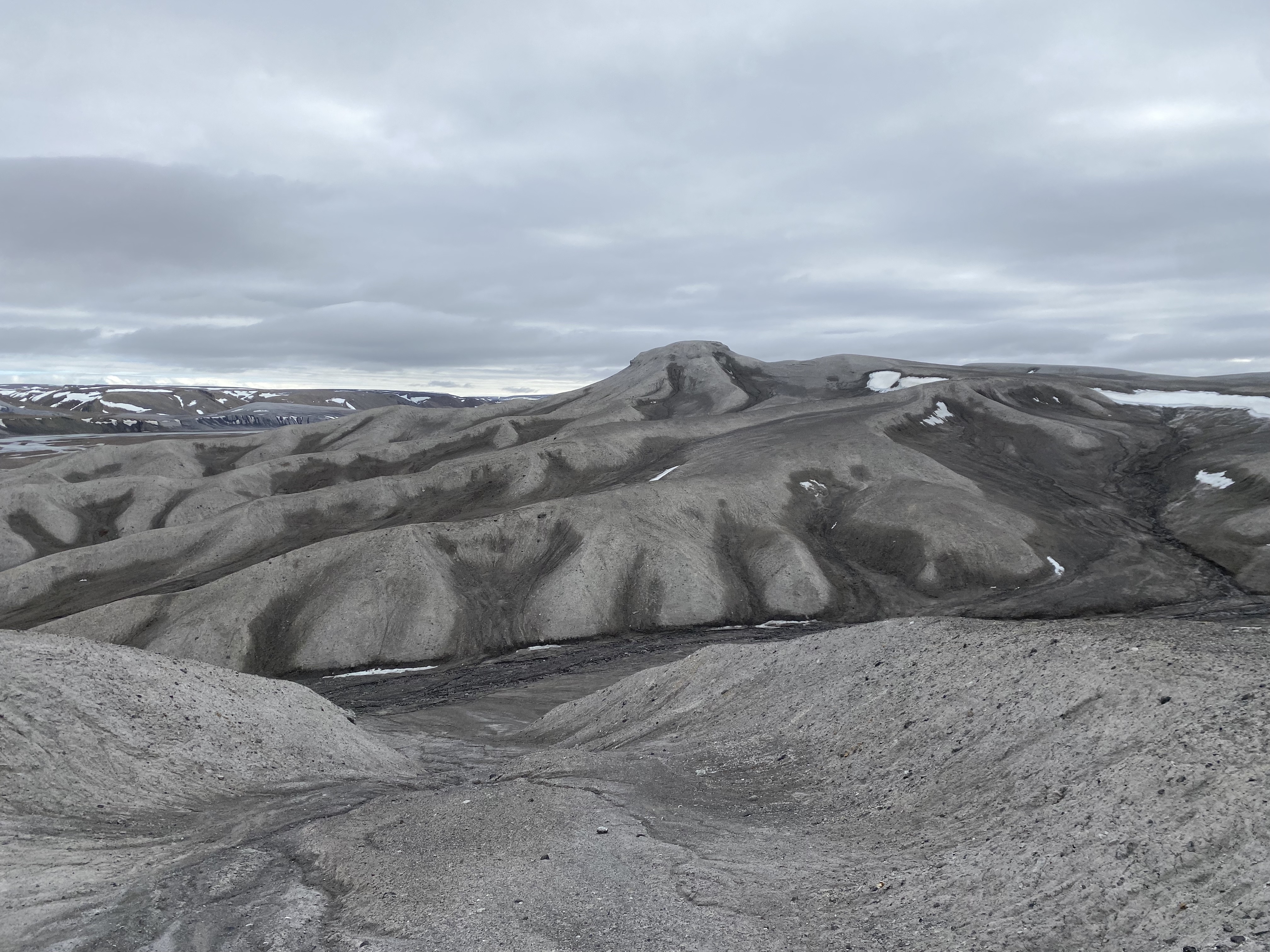
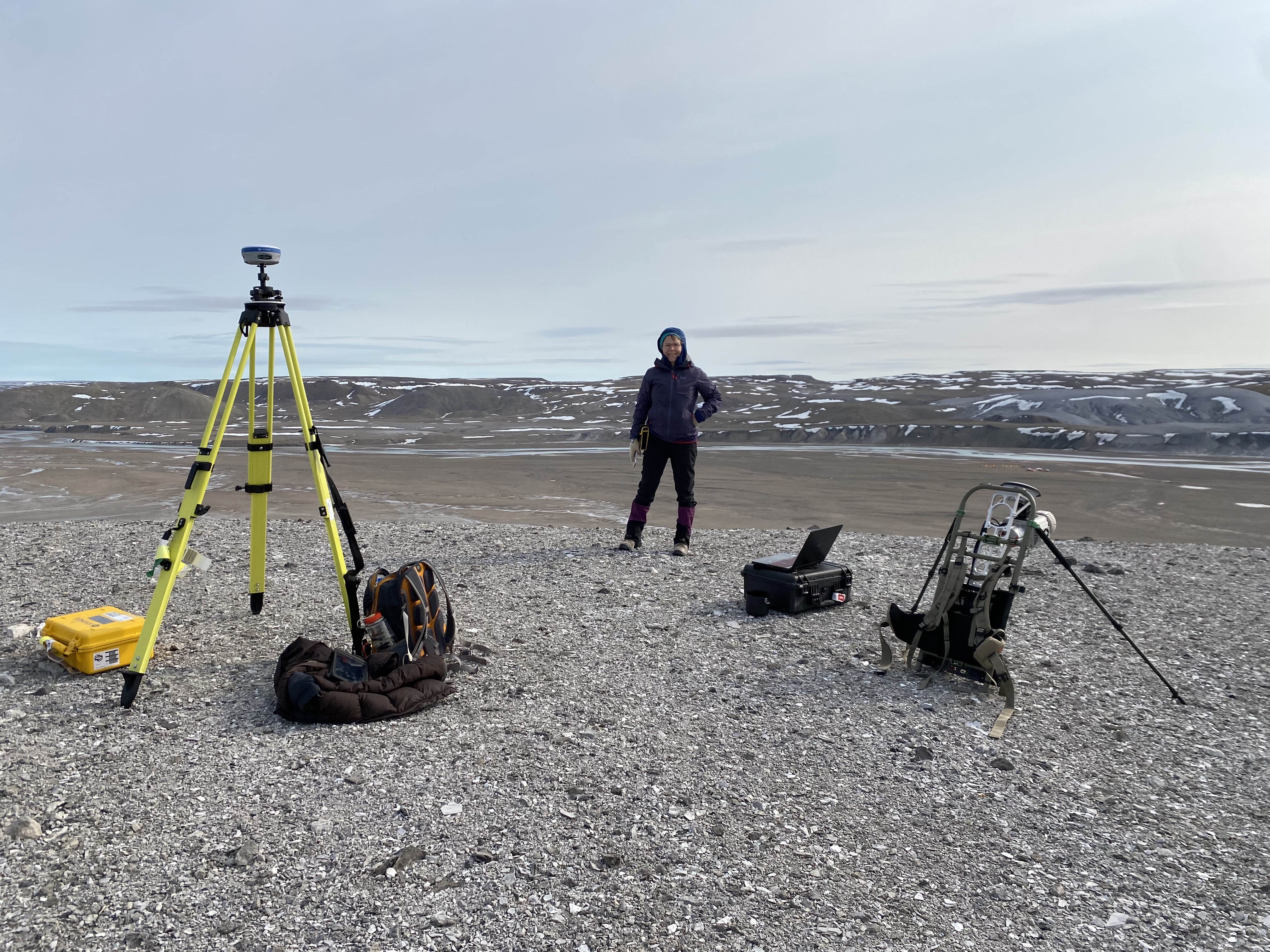
In an earlier blog post, I mentioned that a full summary of my summer field work experience would follow in future blog posts, so I guess this one is it! Or at least, part of one. I'll go over a bit more details of last summer's field work and what I learned from the experience. In late June of 2022, I headed north to the Canadian High Arctic, spending two weeks in Haughton crater on Devon Island, Nunavut. Our team from Western included myself, several grad student colleagues, and Dr. Gordon "Oz" Osinski, an expert on Haughton crater and a seasoned Arctic traveler. We first drove from London to Ottawa and then took a (well, more like several) Canadian North flight(s) from Ottawa to Resolute Bay, an Inuit hamlet on Cornwallis Island, Nunavut. While in Resolute, we spent a day or so at the Polar Continental Shelf Program, a Natural Resources Canada-operated facility mainly used as a jumping off point for Arctic researchers, as well as a training ground for the Canadian military's winter exercises. But why was I going up to Haughton? My advisor Dr. Catherine Neish is a co-investigator on NASA's Dragonfly mission, and had written a proposal along with Dr. Melissa Trainer of NASA's Goddard Space Flight Center to study Haughton as an analogue for Selk crater on Titan. One of Dragonfly's chief science goals is to assess possible conditions for habitability, and it's thought that the water ice rock when vaporized by an impact event may mix with the organic materials present on Titan's surface to create the building blocks of life, such as amino acids. So, understanding where the "best" location to sample impact melt on a crater is of utmost importance, and involves understanding impact melt associated with terrestrial craters. Due to its location in the Canadian High Arctic, the dry, arid conditions and lack of vegetation has led to minimal weathering and fairly well-preserved and well-exposed impact melt deposits. After testing the backpack-mounted LiDAR at PCSP and loading up the gear for the field, we headed off to Devon Island.
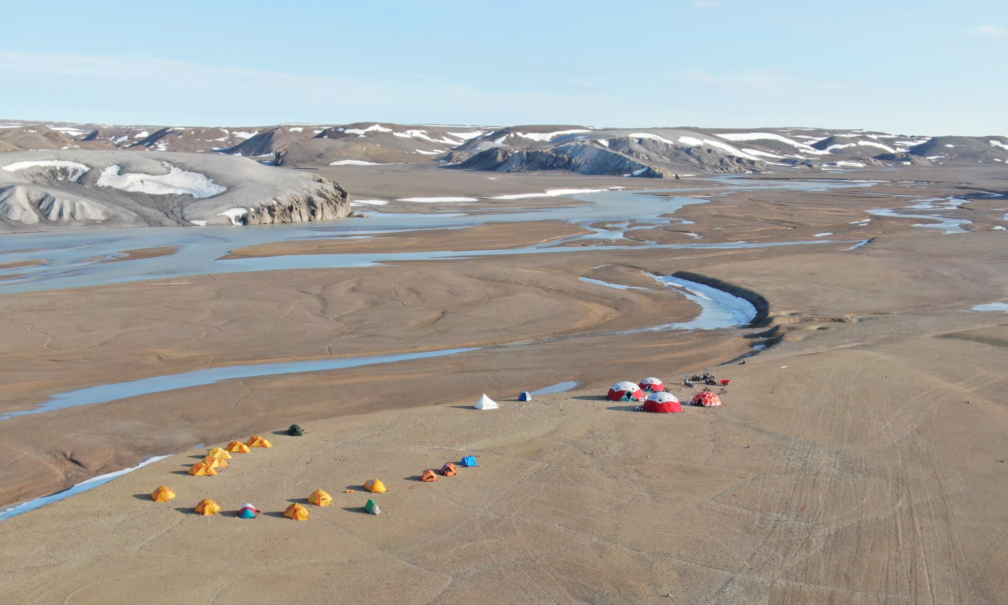
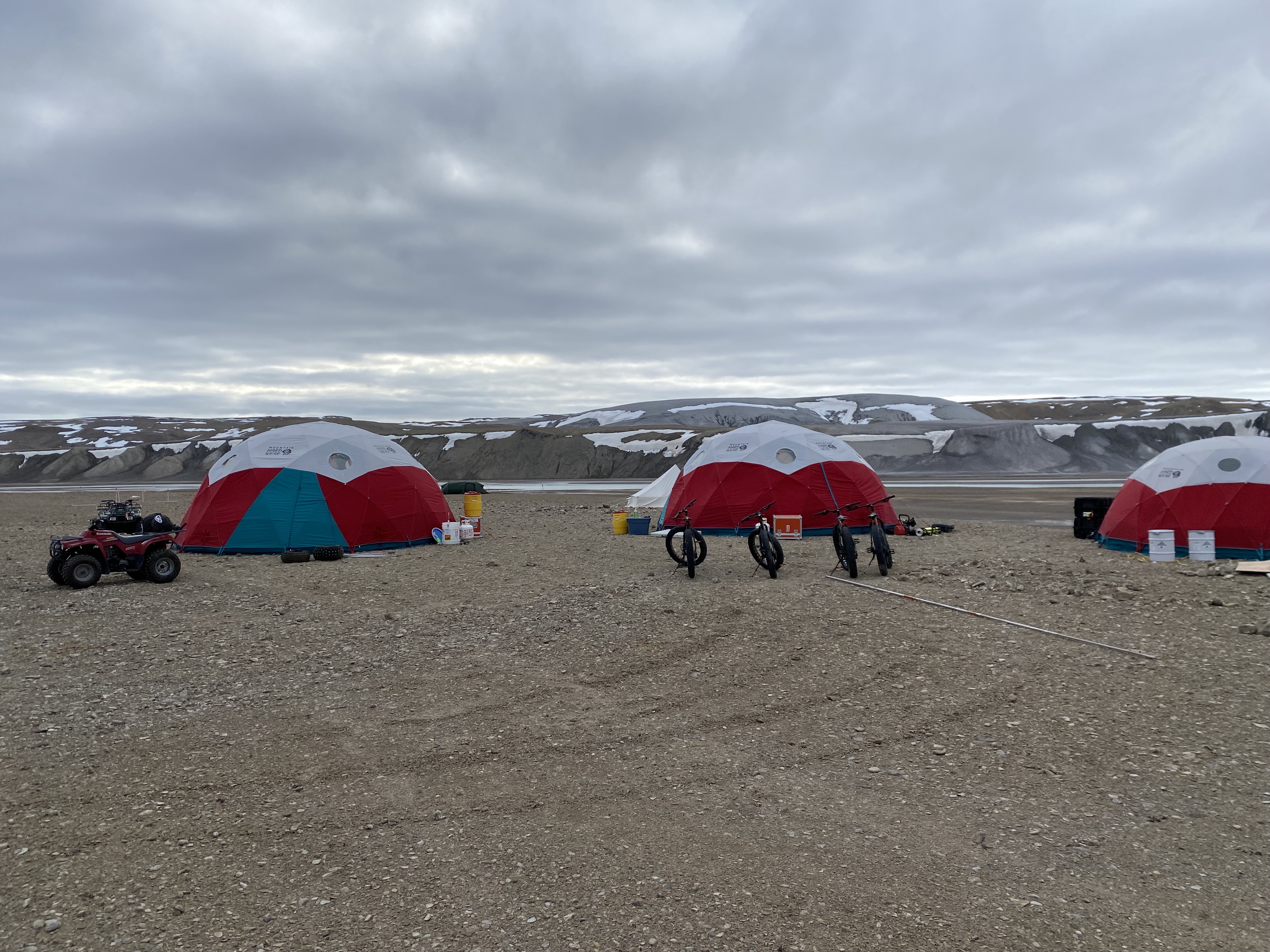
In addition to our crew from Western, we were joined by other researchers from various institutions including Los Alamos National Laboratory, NASA's Goddard Space Flight Center, Simon Fraser University, and The Open University. Once the entire crew had made it to camp, everyone commenced on their own particular research questions and goals. Some folks were checking out the water bodies and vegetation of the Haughton Formation, others were testing out a gamma ray instrument, and others mostly just spent their time flying drones around. Melissa and I spent our days scouting out suitable locations to collect data from (we had to meet the Dragonfly landing site requirements of a site having a slope less than 10° and no major rock hazards), followed by a return to that site with our instruments to actually collect the data. One thing we learned from this process was not to over-plan: while beforehand I had scoped out several sites in various locations that seemed suitable to collect data from, the reality of conditions in the crater quickly became clear. As the snow had just recently started melting, much of the terrain by our camp was exceedingly muddy. The target material for Haughton is mostly limestone and dolomite, so when you get wet lime and calcite--much like cement-- you get very difficult to traverse material. So, we had to readjust our initial plans to account for both certain areas being inaccessible as well as travel times being longer to get to sites that seemed pretty close by on the map. Additionally, we had made tentative plans to try and ford the river immediately to the east of our camp with the LiDAR, in order to access certain impact melt deposits on that side of the Haughton River Valley. However, we found that the height of the river was much too high to risk water damaging a piece of equipment that costs almost half-a-million CAD. So, we observed the precautionary principle and shelved that idea. If only we had a helicopter. Haughton was my first field experience that wasn't a field trip for a course, so I learned a lot from being in charge of the safe transport and maintenance of the LiDAR and the associated equipment (batteries, chargers, the tripod, etc). A few days into field work, I had set up the LiDAR battery charger in one of the dedicated charging tents. Soon after, I smelled the distinct scent of smoke. I rushed back in saw a faint column of smoke emanating from the charger. I'm not sure how, but something had caused the charger to short. Part of the plastic insulator connecting the charger to an outlet was fairly melted, and I felt despair at this having occurred in my first round of field work. How much data would I be able to collect if I couldn't charge the batteries? I began to ration out how much charge we had left, and I texted my advisor using Oz's satellite-enabled phone to inform her of the incident. Thankfully, an engineer named Dan at Los Alamos was nearby and heard of my plight. He immediately went to work on cutting off the affected portion of the cable and re-connecting the copper wires, allowing the charger to be usable for the duration of the remaining field work (though I wouldn't recommend using a similarly fixed charger after it's been packed up and transported somewhere). In general, Haughton taught me that the assumptions you make based on remote sensing imagery often don't reflect the reality on the ground--a useful lesson to keep in mind for any aspect of planetary science. In addition, I learned a couple things by almost starting an electrical fire: one, to do a better job in packing more sensitive pieces of equipment (I had wrapped the charger in bubble wrap and put it inside a Ziploc bag, but I guess that wasn't enough), and two, learn how to act quickly and adapt. It probably wouldn't have gone super well if I plugged in the charger and then immediately left camp, so I'm glad I was close enough to be able to react to the situation. Even if we didn't fix the charger in camp, we could have collected some data, so it's a good idea to be able to think of what you can still do in the field if your equipment breaks. And lastly, the incident taught me that it's good to ask for help--Dan saved the day, and if I kept the problem to myself, it wouldn't have gotten solved.

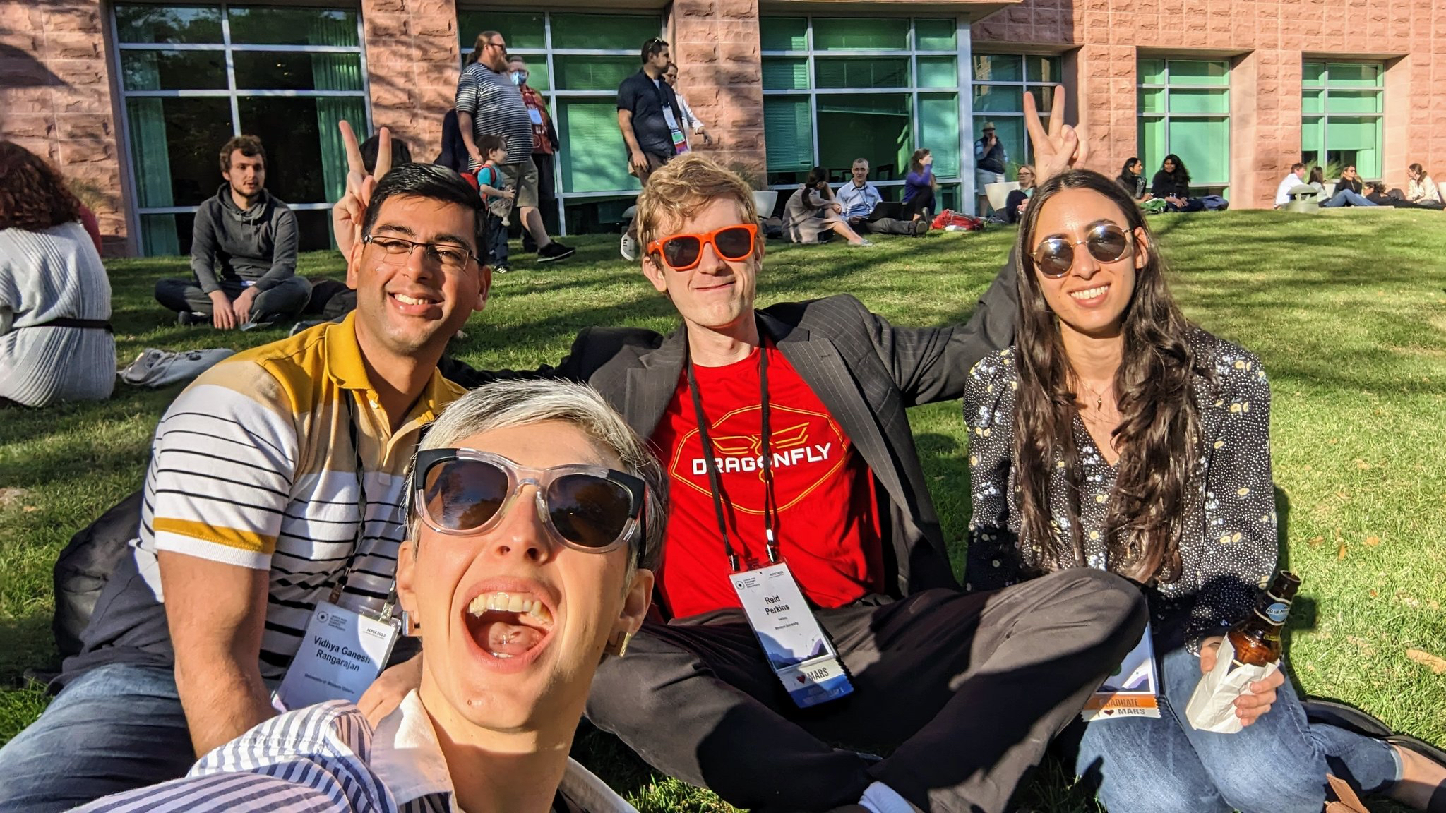
In addition to some difficult traverses and unexpected near-conflagrations, the Haughton trip was also memorable for some more enjoyable reasons. The camaraderie and morale among the team was high, and everyone pitched in to help cook dinners, pack up the camp, and assist with stuck ATVs and river crossings. Many nights had us all in the main dome tent playing card games, sharing stories, and being interviewed for a Discovery Channel special that one of our group, Dr. Nina Lanza from Los Alamos, was involved with. Cell phone and internet service was non-existent during the two weeks we were out by the crater, so our only method of communication was via radio (as well as some satellite phones a couple of folks had). This meant that for two weeks we had virtually no contact with the outside world, no news, no nothing. Honestly, this may have played a part in the fact that I felt unusually at ease while in the crater, despite the potential threat of polar bear incursions on our camp. Being this far north, we had twenty-four hours of sunlight, which was a surreal experience that made this trip even more memorable. One lesson I learned is that group camaraderie is very important for getting through a couple weeks in an extremely isolated and remote environment--I'm not sure if it would have been as enjoyable if not for the people involved. It's a bit like life--sometimes you can find yourself in a really remote spot, or maybe you got your ATV stuck in the mud because you drove to an area that Oz told you not to (hypothetically speaking), or maybe you almost start an electrical fire, but as long as you have good people around you, you'll be okay.